|
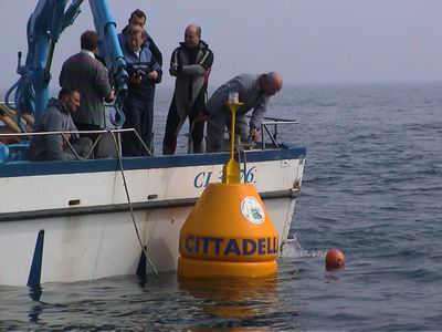
Buoy - Cittadella

Geographical reference: TC1
| Lat. |
45°
12.749’ N |
| Long. |
12°
23.259’ E |
|
UTM
33T |
WGS84 |
| Est |
294869
|
| Nord |
5009874 |
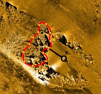
Length of route: approx. 180 mt.
Identification mark: H
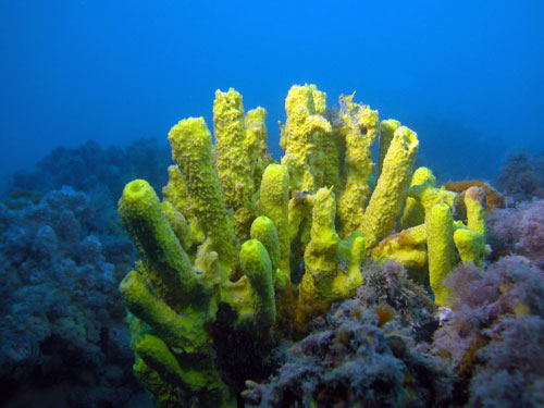
This diving site is inside the largest area of the No-Take
Zone. The diving routes have been set up and are managed by “Aquaclub Nautilus”
Centre – Cittadella (Padua). The rocky outcrop is part of the main structure of
the Tegnùe di Chioggia. It is the farthest point of an offshoot connected to the
site of the “Acquaclub Venezia - Mestre" buoy. The surrounding seabed is
around 20 metres deep while rock depth is less than 17 metres.
The rocks have a fork-shaped layout and the mooring buoy is located in the
middle. The rocks then head out west-north-west.
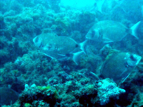
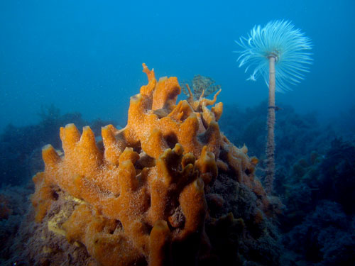
During inspection, researchers were surprised by the high and constant number of
sea breams, as well as crustaceans and various benthic species. Since sea bream
shoals shift, they may have found an ideal feeding place during that period. Our
hope is that the fishing prohibition will be sufficient to protect these
beautiful examples and that divers will observe them without disturbing them. It
is also easy to encounter conger eels, lobsters and sea ravens in the deep
cracks.
Bathymetric survey: Piero Mescalchin
 |