|
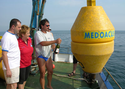
Buoy - Medoacus

Geographical reference: TM4
| Lat. |
45°
12.605’ N |
| Long. |
12°
23.960’ E |

|
UTM
33T |
WGS84 |
| Est |
295779
|
| Nord |
5009579 |
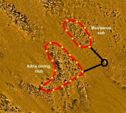
Length of route:
North Part 110 mt.
South Part - 140 mt.
Identification mark: L
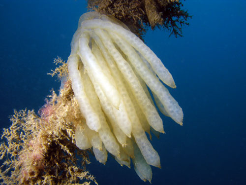
This diving site is inside the largest area of the No-Take
Zone. The diving routes have been set up and are managed by:
“Medoacus Sub” – Stra (Ve) and "Adria Diving Club" Adria (Ro). The rocky outcrop belongs to the south-east part of the main structure of the Tegnùe
of Chioggia.
An extremely large rocky area may be explored here which justifies the various
routes and dives. The surrounding sea bottom is around 20-21 metres deep
while the rocks rise to depths of around 17 metres. The buoy has been located in
the upper part which is completely covered with sand. Consequently, the rocks
may be reached without crossing the deeper and muddier area, allowing greater
visibility and safety conditions. For this reason, this Tegnùa – more than
others – is suitable for divers with little expertise or for course exercises.
The highest rocky areas and of greater interest are basically two. They are
separated by a sort of canyon that descends towards the deep muddy area.
Divers may proceed eastwards from the buoy and reach a large, flat rocky
area which descends south and east. Instead, proceeding southwards from the
buoy, divers may reach the highest peak that faces north-east – south-west
and has a sheer wall that drops down towards the muddy area.
Bathymetric survey: Piero Mescalchin
 |