|


Geographical reference: OT05
| Lat. |
45°
11.804’ N |
| Long. |
12°
23.933’ E |

|
UTM
33T |
WGS84 |
| Est |
295695
|
| Nord |
5008097 |
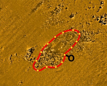
Length of route: approx. 120 mt.
Identification mark: S
This diving site is inside the largest area of the No-Take
Zone and is one of the outcrops nearest to the coast.
The outcrop is composed of scattered rocks, gathered in two main groups,
surrounded by sandy-muddy sediments. The surrounding sea bottom is around 20
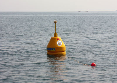
metres deep and the rocks rise no higher than around one metre. The mooring
buoy is located midway so that both groups of rocks, to the east and to the
west, may be reached.
The water here is often turbid owing to the proximity of the coast and river
mouths, but also due to the low rocks. This makes dives sometimes rather more
difficult but in any case very interesting. Photography lovers are recommended
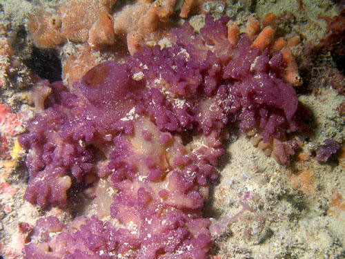
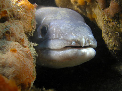
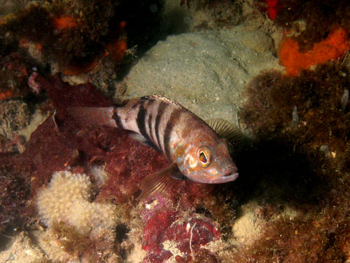
to use macro optics. Many species may be observed in this relatively small space:
encrusting sponges (massive and erect species), cerianthus and many ascidians.
Brown comber (Serranus hepatus) and conger eels (Conger conger) may be sighted
and, quite often, the tentacled blenny (Parablennius tentacularis).
Bathymetric survey: Piero Mescalchin
 |